
One capture. Multiple uses.
HANOS provides onsite 3D scanning in Miami, Florida, for commercial facilities, construction projects, campuses, community spaces, and homes.
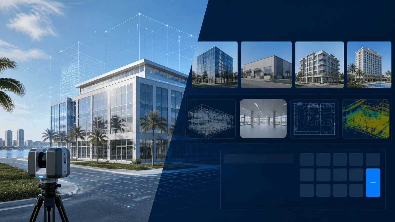
A digital twin is a navigable representation of your space. Use it to review existing conditions, coordinate work, and share context with people who cannot be onsite. We agree the capture area, deliverables, access, and update schedule before work begins.
Explore what a digital twin can do.
Start with the information you need to preserve, the people who need access, and the decisions the record should support.
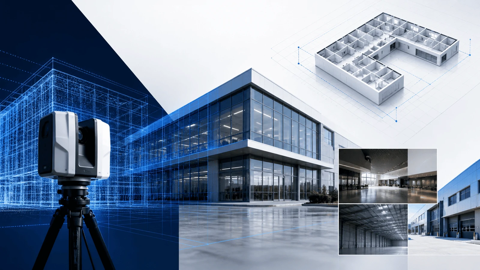
Capture existing conditions
Preserve the space before renovations, installations, property handoffs, or operational changes.
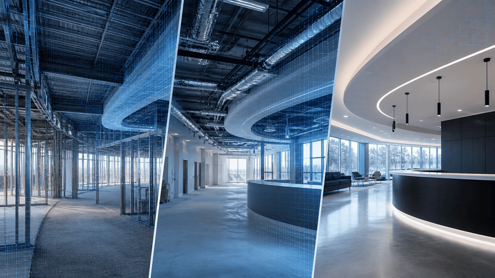
Track visible progress
Compare project milestones, layout changes, completed improvements, and before-and-after conditions.

Connect asset information
Link equipment, manuals, procedures, observations, and recommendations to their location.
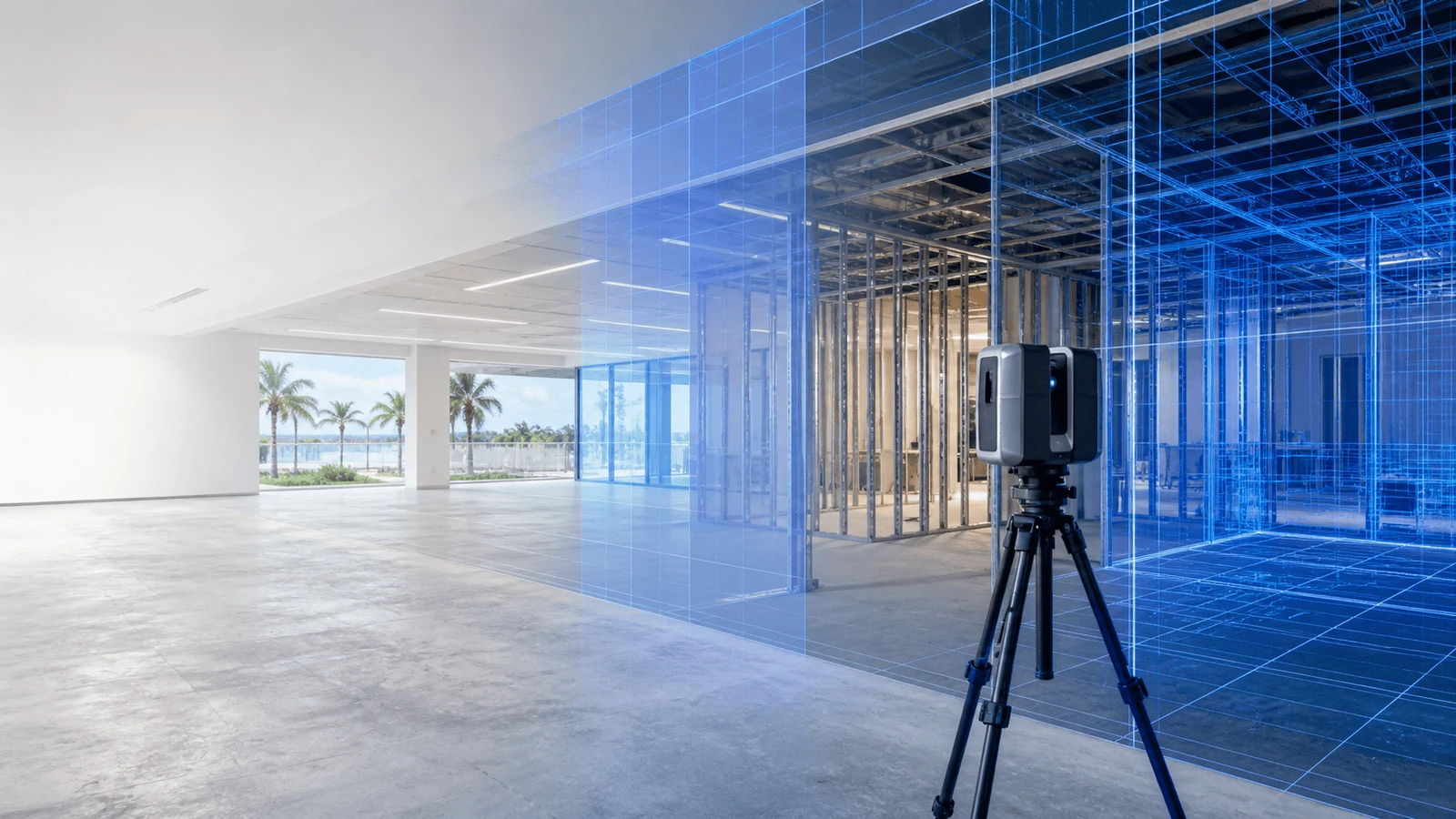
Coordinate construction
Keep visual records of rough-in, pre-drywall, closeout, and other time-sensitive stages.

Open a window into your mission
Create selected public tours for families, supporters, and community partners.
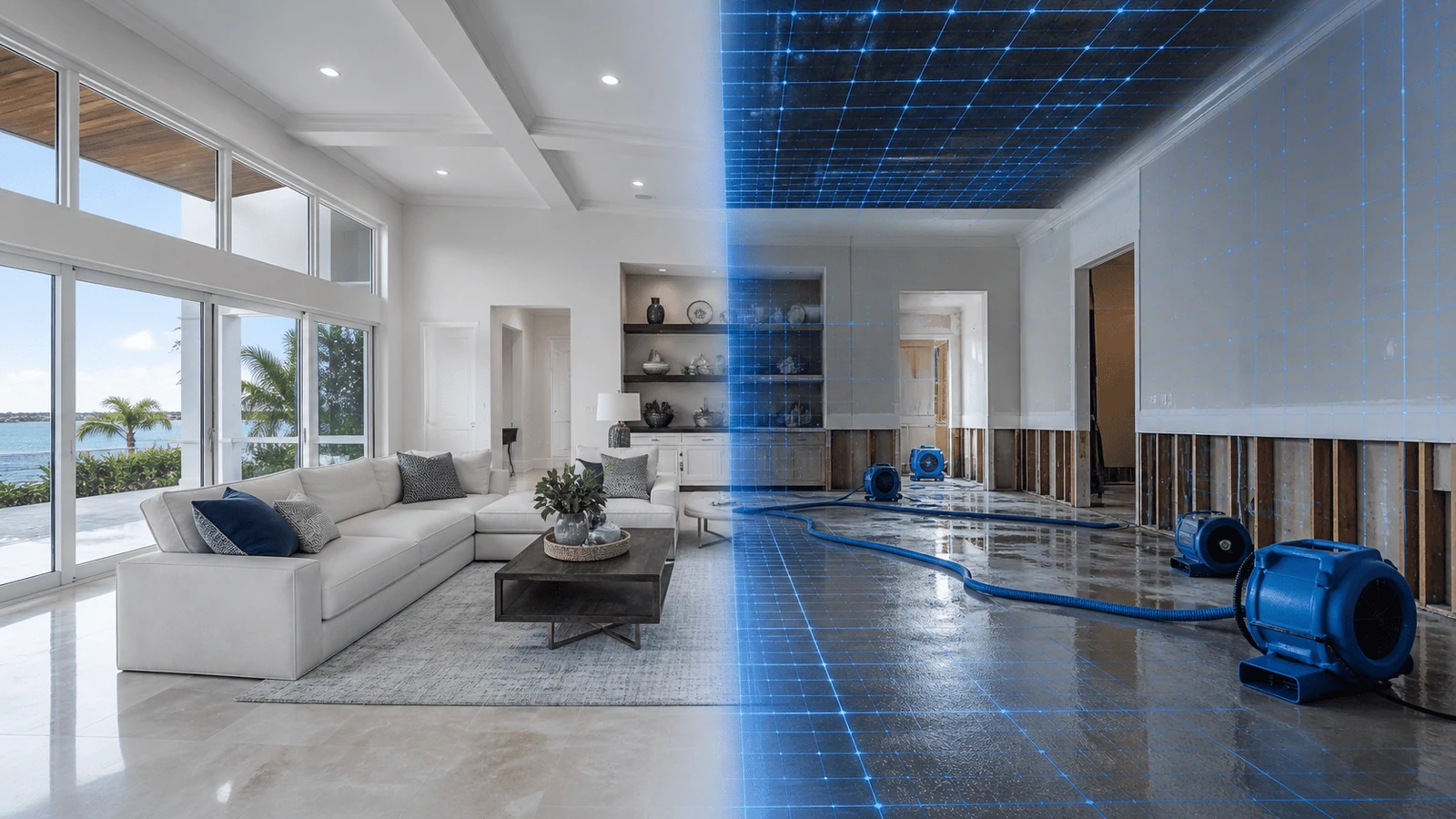
Preserve property records
Document homes, renovations, damage, restoration, and property transitions.
3D documentation for Miami properties and facilities
Manufacturing
A factory is too complex to manage from scattered photographs and memory. HANOS creates a shared visual baseline your operations team can revisit from anywhere.
Construction
Construction conditions change every day. Give owners, contractors, designers, and remote stakeholders a timestamped visual record of what was present at each critical stage.
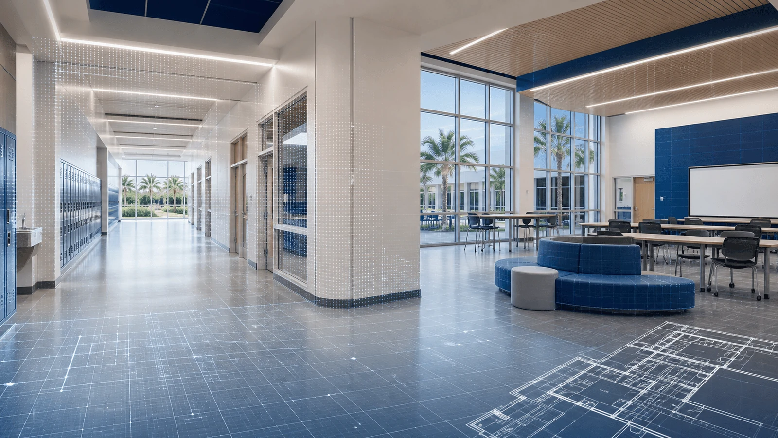
Education
Facility knowledge is often spread across drawings, photographs, and the memories of a few people. Create a private, navigable record that helps campus teams plan and communicate.
Nonprofits
Your space is part of your story. Manage facilities more effectively and show supporters what their investment makes possible.
Property
A navigable property record provides more context than a folder of disconnected photographs.

Clarity before technology.
HANOS connects professional capture with operations, safety, technology, and leadership. We begin with what your team needs to understand and improve.
We assess the facility, processes, people, and decisions together, then organize the visual record around practical action.
From a single visit to a living record.
Discovery → project plan → onsite capture → processing and organization → delivery → ongoing updates.
Define the scan locations, naming convention, sharing rules, and update cadence before the first visit.
A digital record of every space.
Practical deliverables selected around your project, your team, and the way the space is used.
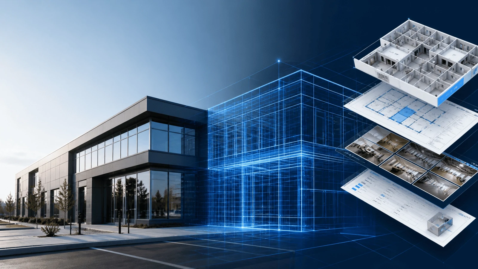
Capture & digital twins · Deliverables · Progress tracking · Operations & safety advisory
A digital record of every space.
HANOS captures homes, facilities, campuses, construction projects, and community spaces as immersive digital twins that can be viewed from a computer, tablet, or phone.
What your team can do
- Document existing conditions before work begins.
- Walk a property remotely with owners, vendors, and stakeholders.
- Review layouts and measurement views.
- Organize equipment, finishes, and important details with visual tags.
- Preserve milestones and compare changes over time.
- Support planning, maintenance, training, property documentation, and marketing.
One capture. Multiple deliverables.
Select the outputs that support the project. Deliverable formats, accuracy needs, hosting, and access are agreed during scoping.
Matterport digital twins
An immersive, navigable record of approved spaces for remote walkthroughs, property documentation, and project coordination. Access and hosting are agreed in your proposal.
Floor plans & measurement views
Schematic floor plans and spatial context for planning and coordination. Confirm suitability and required accuracy for the intended use.
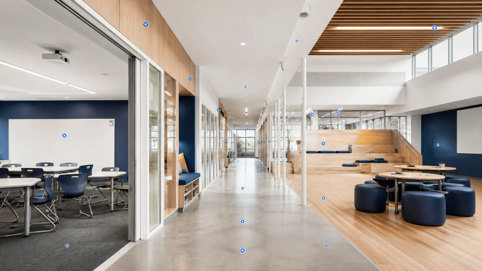
High-resolution still images
Selected views for reports, project records, presentations, and commercial materials.
MatterTags & asset documentation
Connect equipment, manuals, procedures, observations, and supporting information to a location in the model.
Shareable links & website embeds
Remote walkthroughs and selected public experiences for owners, vendors, families, donors, and other stakeholders.
Repeat-scan documentation
An organized sequence of captures for facilities, construction, renovations, and portfolio updates.
Turn change into a visible timeline.
One scan shows a moment. A planned series of scans shows how a space changes.
Operations, safety & leadership—connected.
Spatial records can support a broader HANOS advisory engagement. Explore the areas below, then define the appropriate scope with our consultants.
Built for the way you work.
Different spaces create different documentation challenges. We plan each capture around access, privacy, operations, and the intended audience.
Explore: Manufacturing · Construction · Education · Nonprofits · Property · Commercial
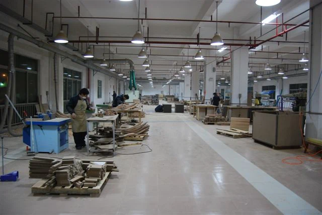
Manufacturing documentation
A factory is too complex to manage from scattered photographs and memory. HANOS creates a shared visual baseline your operations team can revisit from anywhere.
Construction documentation
Construction conditions change every day. Give owners, contractors, designers, and remote stakeholders a timestamped visual record of what was present at each critical stage.
Education documentation
Facility knowledge is often spread across drawings, photographs, and the memories of a few people. Create a private, navigable record that helps campus teams plan and communicate.
Nonprofits documentation
Your space is part of your story. Manage facilities more effectively and show supporters what their investment makes possible.
Property documentation
A navigable property record provides more context than a folder of disconnected photographs.
Commercial properties & portfolios
Support remote collaboration, leasing presentations, vendor coordination, renovation planning, and recurring portfolio documentation.
A consistent record across locations
Agree a repeatable capture plan, naming conventions, access rules, and deliverable formats so owners and operations teams can compare spaces and changes over time.
Private operations. Selected public views.
Maintain operational records for approved teams and use selected virtual experiences for leasing, marketing, and stakeholder communication.
From physical space to useful record.
A clear scope, an organized capture, and deliverables your team can put to work.
01 · Discovery
Tell us about the property, goals, approximate size, location, access requirements, timeline, and desired deliverables.
02 · Project plan
Agree the capture approach, scan areas, privacy settings, milestone schedule, and final outputs.
03 · Onsite capture
Document the approved spaces while following site access, safety, and operational requirements.
04 · Processing & organization
Review the model, apply clear naming, add agreed tags and supporting information, and prepare the selected outputs.
05 · Delivery
Receive agreed links and files with practical guidance for viewing, sharing, measuring, embedding, and collaborating.
06 · Keep it current
Repeat scans preserve active-project milestones and maintain a living facility record. Agree capture frequency, hosting, access, and retention requirements.
Clarity before technology.
We start with the decisions you need to make, the people who need access, and the information that must be preserved.
How HANOS connects insight with action.
Prepare for a useful capture.
Start with a short scoping conversation and a property location or floor plan.
- Identify capture areas, separate models, restricted spaces and any repeat visits.
- Share operating hours, occupancy, access and safety requirements.
- Prepare rooms before capture: tidy surfaces, remove sensitive documents and personal items, and agree on furniture and door positions.
- Coordinate occupants and access so the capture route remains clear.
- Confirm who may view the model, which views may be public, and the tags or supporting files required.
We agree on deliverables and the delivery schedule in your proposal. Technical exports, required accuracy and suitability for CAD/BIM coordination are confirmed separately.
Start with your space.
Tell us what you need to document and what decisions the record should support.
Digital twin pricing for Miami & South Florida
Residential capture — from $349 per space
For homes and condos. Includes the first 1,500 sq ft, one scheduled capture visit, a processed Matterport tour, shareable link and website embed, plus 1 month of hosting from delivery.
Additional interior: $0.15/sq ft. Additional exterior: $0.10/sq ft, where capture is suitable.
Commercial & hospitality — from $499 per space
For offices, retail, hospitality and accessible commercial interiors. Includes the first 2,500 sq ft, one scheduled capture visit, a processed Matterport tour, shareable link and website embed, plus 3 months of hosting from delivery.
Additional interior: $0.12/sq ft. Additional exterior: $0.10/sq ft, where capture is suitable.
How area is calculated: Each separately delivered model is one space with its own base fee and included area. Apply the included area to interior first, then any remaining allowance to exterior. Only the area above that allowance is charged extra.
Prices are in USD. Area, access, location and deliverables are confirmed in your written quote before booking. Travel, restricted access, after-hours work, extra visits and applicable taxes are additional where quoted.
Plan your Miami 3D scanning project
Tell us about your property and select the services you need. Leave area fields blank if measurement is needed. We will confirm scope and pricing before booking.
By submitting, you ask HANOS to contact you about this project. No subscription, booking or payment is created.
Hosting, deliverables & operational packages
Keep your space available
$20 per space/month after the included hosting period. Hosting begins on delivery. Continued hosting and any renewal billing require agreement; a scan purchase does not authorize automatic charges.
Optional project deliverables
- Schematic 2D floor plan: from $65 per eligible space. Format and coverage confirmed in the quote.
- Technical exports: custom quote. MatterPak, point-cloud, E57 or CAD/BIM requirements are checked for scan eligibility, format and cost before ordering.
- Asset tagging and documentation: custom quote. Connect approved equipment records, manuals and operational information.
- Recurring capture: custom program. Scope construction milestones, facility changes or multiple properties together.
Hano Spatial software setup, data organization, consulting and workforce training are separately scoped services. A downloadable technical file is different from a hosted interactive tour.
Questions before we begin?
People who understand the work.
HANOS brings operations, technology, product development, manufacturing, safety, and leadership perspectives to spatial documentation. We connect the visual record to practical planning, maintenance, collaboration, and improvement.